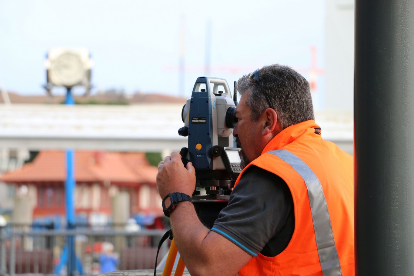
Accurately Measure And Map
We know land - inside and out, above and below. When you partner with CKL, you get people who’ve known and loved surveying for generations, backed by the latest technology and equipment.
We accurately measure and map development landscapes for title, subdivision, and construction. Your needs might be as simple as clarifying property boundaries, or as complex as tunnelling beneath existing infrastructure. CKL has the team, tools, and experience to deliver.
We save clients time and money by using drones to capture data on sites that are large, complex, or difficult to access. Using Part 102 CAA -certified UAV pilots and LIDAR scanning, we generate high-resolution aerial images, point cloud models, and georeferenced site maps. We use drone data to create clear, 3D visuals that help with planning, design, and site understanding.
We also support construction and infrastructure projects with electronic monitoring services, including tilt and vibration sensors that provide 24/7 real-time insights - ideal for foundation repairs, structural remediation, and ensuring site safety.
Our Surveying Capabilities Include:
- Licensed Cadastral Surveyors
- Precision boundary surveys and title clarification
- Cadastral, topographical, and as-built surveys
- Drone land surveys and aerial photography
- 3D scanning and point cloud modelling
- Orthographic and oblique drone images
- Scaled floor plans and CAD-ready files
- GPS surveys and drone flood modelling
- 3D survey plans and interactive site maps
- Infrastructure projects (roading, tunnelling, and rail)
- Multi-dwelling, unit title, and strata developments
- Surveys of quarries, landfills, and inaccessible sites
- Structural monitoring (tilt and vibration sensors)
- Resource consent and title amendments
- Construction and building set-out
- Expert witness services


