27 Jan 2023
“If you focus solely on the job of surveying, you could describe our work as determining the positions of things: of boundaries, topographic features and built structures above and below the ground. We measure things, then we mark the landscape accordingly.
“But CKL surveyors never think of the job in isolation. We understand the work of others and we’re mindful of how they use the data we provide. Each of them has to put something somewhere: roads and footpaths, an elevator shaft, drainpipes, a building, a fence. They need to know exactly where they’re supposed to work, down to the millimetre.
“That’s why a surveyor will often run the small to medium-sized projects. We’re across most aspects of the subdivision.”
“When I go onsite to measure things, I know what’s going to be built at any given point. For example, if I’m marking a building and I know there’s going to be a lift shaft there, I’ll mark it in a specific way because I know how builders and contractors will tackle this job.
“Same thing if I know there’s a retaining wall to go in a certain point. It may not be in my scope of work, but I’ll mark and measure it just in case the engineers hadn’t anticipated the anomaly. That’ll help them understand the loading impact of their work.
“That’s what good surveyors do: we make it easier for others to do their work correctly.”
To solve the problem, CKL has created its own Licensed Cadastral Surveyor Development Programme. Adam explains the process.
“When CKL interviews graduates, we show them our pathway to becoming licensed. This includes setting them up with mentors, mapping out study sessions, helping them compile projects and journalling their experience, prepping them for external exams and giving them mock interviews to prep them for the Wellington examination.
“Our programme is one of the best, giving us 11 licensed cadastral surveyors in the last six years.”
Laser scanners can now pinpoint the exact contours of complex structures, like the façade of a building, or the underside of a bridge. Drones collect aerial information from 2D photos, then combine the overlapping images to generate photorealistic 3D representations of topographic surfaces.
Adam can see where the technology is heading.
“Scanner and drone technology is constantly evolving. Now you can fit different sensors to a drone, like infrared. If you have a network of pipes and you need to find any leaks, you can fly the drone at night looking for heat signatures to detect anomalies.
“Technology is changing the way surveyors work. A task that may have taken a week to do by walking around taking measurements, a drone can now do in an hour. So more of our time is spent in the office working with phenomenal amounts of data.
“One thing that hasn’t changed is the need to make good decisions. As a surveyor, you still have to make judgement calls and solve problems. It’s all about getting consents and titles for our clients.”
Large or small, a building project is the coming together of a myriad of parts. Planners, architects, lawyers, specialty engineers, earth movers, roading and building companies, and dozens of subcontractors.
Before they can do their work, the land on which the project will rest must be measured and mapped. That is the work of land surveyors.
What surveyors do
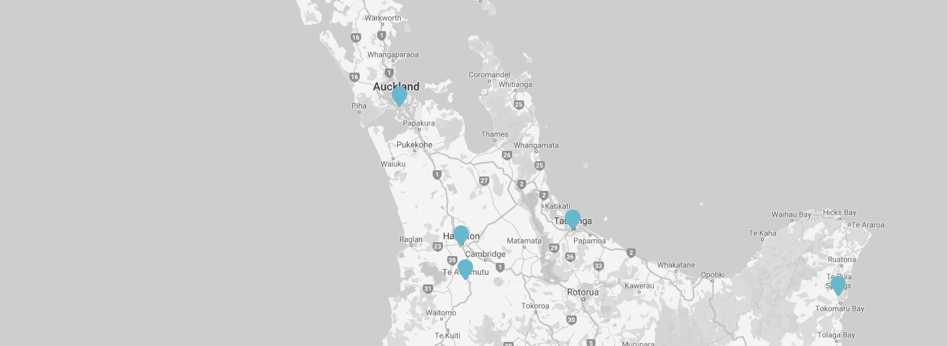
CKL employs a total of 32 surveyors, with Adam Musa leading the team in the Hamilton office. He knows the importance of surveying in the context of the overall project.“If you focus solely on the job of surveying, you could describe our work as determining the positions of things: of boundaries, topographic features and built structures above and below the ground. We measure things, then we mark the landscape accordingly.
“But CKL surveyors never think of the job in isolation. We understand the work of others and we’re mindful of how they use the data we provide. Each of them has to put something somewhere: roads and footpaths, an elevator shaft, drainpipes, a building, a fence. They need to know exactly where they’re supposed to work, down to the millimetre.
“That’s why a surveyor will often run the small to medium-sized projects. We’re across most aspects of the subdivision.”
Above and beyond
As a licensed cadastral surveyor, Adam has a deep knowledge of the worlds of planning and engineering. Knowing both spheres gives him a holistic understanding of how things are going to be built. That allows him to make surveying decisions that will make a contractor’s life significantly easier.“When I go onsite to measure things, I know what’s going to be built at any given point. For example, if I’m marking a building and I know there’s going to be a lift shaft there, I’ll mark it in a specific way because I know how builders and contractors will tackle this job.
“Same thing if I know there’s a retaining wall to go in a certain point. It may not be in my scope of work, but I’ll mark and measure it just in case the engineers hadn’t anticipated the anomaly. That’ll help them understand the loading impact of their work.
“That’s what good surveyors do: we make it easier for others to do their work correctly.”
Growing their own licensed cadastral surveyors
Over the last 20 years, the construction industry has experienced a shortage of licensed cadastral surveyors.To solve the problem, CKL has created its own Licensed Cadastral Surveyor Development Programme. Adam explains the process.
“When CKL interviews graduates, we show them our pathway to becoming licensed. This includes setting them up with mentors, mapping out study sessions, helping them compile projects and journalling their experience, prepping them for external exams and giving them mock interviews to prep them for the Wellington examination.
“Our programme is one of the best, giving us 11 licensed cadastral surveyors in the last six years.”
The future of surveying
Over the years, the essential job of surveying has remained largely the same: measure and mark out the relevant details of a specific geographical area. However, the growing sophistication of the tools has changed what can be seen and mapped.Laser scanners can now pinpoint the exact contours of complex structures, like the façade of a building, or the underside of a bridge. Drones collect aerial information from 2D photos, then combine the overlapping images to generate photorealistic 3D representations of topographic surfaces.
Adam can see where the technology is heading.
“Scanner and drone technology is constantly evolving. Now you can fit different sensors to a drone, like infrared. If you have a network of pipes and you need to find any leaks, you can fly the drone at night looking for heat signatures to detect anomalies.
“Technology is changing the way surveyors work. A task that may have taken a week to do by walking around taking measurements, a drone can now do in an hour. So more of our time is spent in the office working with phenomenal amounts of data.
“One thing that hasn’t changed is the need to make good decisions. As a surveyor, you still have to make judgement calls and solve problems. It’s all about getting consents and titles for our clients.”


